


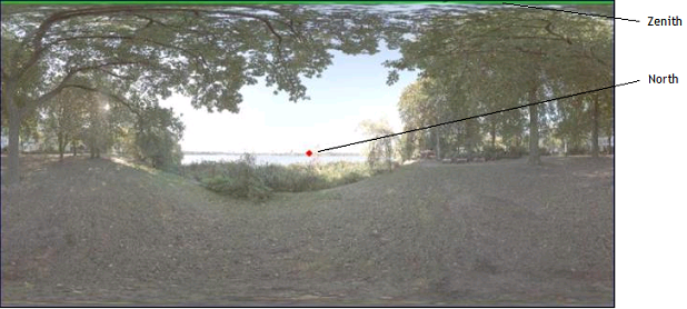
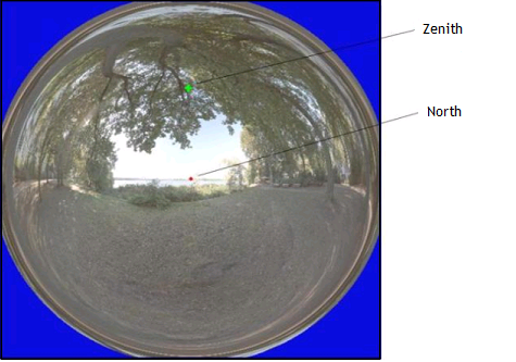
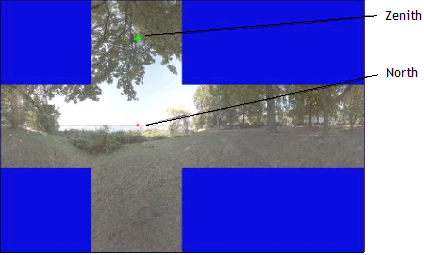
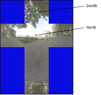
Environment Type Overview
Environment sources are often generated based on HDR environment maps. This page shows the different mapping techniques used to generate environment maps (latitude map, light probe map etc).
Conventions
For all the different north selected types, Zenith defines the main direction for the ambient source.
If the North is not perpendicular to the Zenith, it is projected in the perpendicular plan.
_Source_Environment_OpenEXR.png)